

#practical
Driving the Trans-Sulawesi, what to expect
Di D. Manangkasi10 Dec9 min di lettura
The road is paved. The road is also full of trucks, market days, and stretches where Google's estimate misses by half. A driver's-eye account, region by region.
The Trans-Sulawesi Highway is the long ribbon of road that runs from Makassar in the south up the western coast, across the central mountain spine, through Palu and Poso, and out to Manado in the north. It is roughly 2,200 kilometres door-to-door and is the spine that every Sulawesi overland trip eventually depends on. The road has been paved for years and is, in 2026, in better condition than it has been at any point in the previous decade. It is also full of trucks, market days, washouts during the rains, and stretches where Google's drive-time estimate misses by half. This is a region-by-region account of what to expect, what to plan around, and where the road still slows.
What "Trans-Sulawesi" actually means
There isn't one Trans-Sulawesi. There are two long routes that share the name. The western route runs Makassar–Pare-Pare–Polewali–Mamuju–Palu–Toli-Toli–Gorontalo–Manado. The eastern route runs Makassar–Sengkang–Palopo–Poso–Luwuk and then loops north to meet the western route near Gorontalo. The western route is faster and better-paved; the eastern route is more scenic and connects more of the central highlands.
Most overland travellers take the western route Makassar to Manado as a single five-to-seven-day drive, or break it in Palu for a day off. The eastern route is more often used for the Toraja loop or for travellers heading specifically to Luwuk and the Banggai islands.
Region by region
Makassar to Pare-Pare (155 km). Three hours on a good day, four with afternoon traffic. The four-lane road out of Makassar is fast for the first hour, then drops to two lanes. Truck traffic is heavy north of Maros until you clear Pangkep. Plan to leave Makassar by 05:30 if you want to beat the truck convoys.
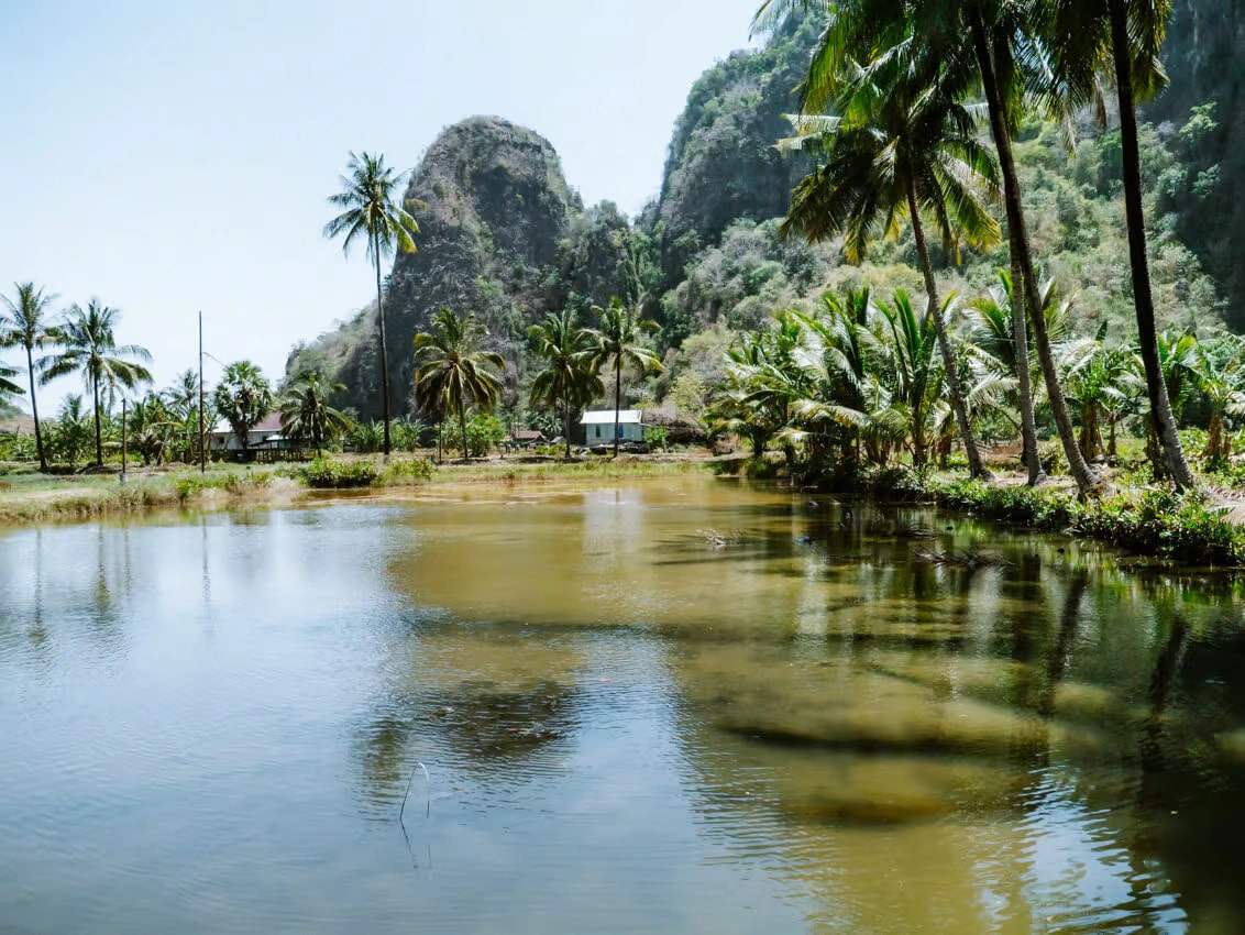
Pare-Pare to Polewali (90 km). Two hours. The coastal road is in good condition and the scenery — limestone cliffs on the inland side, the Makassar Strait on the seaward side — is the best of the southern leg. Stop at Lumu for lunch; the coto Pare-Pare warungs along the main road are reliable.
Polewali to Mamuju (135 km). Three hours. The road climbs through the Mamasa highland approach country, with occasional washouts in the rains. The drive is pretty; the traffic is light. Mamuju is a good overnight stop if you're breaking the trip into two days.
Mamuju to Palu (550 km). This is the long day, eleven to twelve hours of driving including stops. The road follows the western coast and then crosses into Central Sulawesi at Donggala. The drive can be split into two days by overnighting in Pasangkayu, which has acceptable hotels. Truck convoys appear in three places: the Pasangkayu market town, the Donggala port approach, and the Palu southern outskirts. Plan to clear Donggala by 16:00 to avoid the worst of it.
Palu. Worth a half-day off the road. The city has rebuilt substantially since the 2018 earthquake and tsunami, the harbour-front is functional, and the food is excellent. The Lore Lindu turn-off for the Bada Valley megaliths is here if you want to extend the trip inland.
Palu to Toli-Toli (430 km). Nine to ten hours. The Lore Lindu loop adds two days if you take it. The direct road north is fine but slower than the kilometres suggest because of two long mountain crossings. Stop at Tomata for lunch; the warung above the cassava field is excellent and the bathroom is clean.
Toli-Toli to Gorontalo (280 km). Seven hours. The road crosses into Gorontalo province and climbs into the central forest belt. This is the slowest stretch of the western route — narrow road, washouts common, truck traffic that can hold you behind for an hour. Plan a buffer; the Google estimate of four and a half hours is, on a good day, possible, but the bad days are bad.
Gorontalo to Manado (430 km). Eight to nine hours, but mostly fast. The road from Gorontalo east is wide and well-paved; the only choke point is the small mountain pass at Atinggola, which slows trucks badly. Arriving in Manado on a Friday afternoon means an hour of city traffic on top.
When to drive
Dry season is May to October and is the only window worth planning a long Trans-Sulawesi drive in. The Toli-Toli-to-Gorontalo stretch in particular floods badly during the November–March monsoon, and the road has been closed for two-day stretches in recent years.
Within the dry season, avoid the week of Idul Fitri (variable date by Islamic calendar; check for 2026) — the road is jammed with returning families and the hotels are full. The week after is the calmest stretch of the year for driving.
How long does it take to drive the Trans-Sulawesi Highway from Makassar to Manado? A direct Trans-Sulawesi drive Makassar to Manado on the western route takes five to seven days at a humane pace, covering roughly 2,200 km. Plan day-long stages of 250–550 km separated by overnight stops in Pare-Pare, Mamuju, Palu, Toli-Toli, and Gorontalo. The Mamuju-to-Palu stretch is the longest single day; the Toli-Toli-to-Gorontalo stretch is the slowest per kilometre.
What to drive
A small SUV is the working answer. A Toyota Avanza or similar will get you there but will struggle on the rougher sections; an Innova or a Fortuner is the better choice. Hire with a driver if you can — the going rate in 2026 is around €70 a day plus fuel, with the driver finding their own accommodation. Self-driving is possible but the night driving rules are strict (don't), the local-driver intuition for market days and convoy traffic is hard to replicate, and the cost saving is modest.
A practical detail: petrol stations on the western route are reliable but spaced. Fill up at every Pertamina station you see; the gaps between are sometimes ninety kilometres.
What's changed
Two things in the last five years. First, the Manado–Bitung toll road opened in 2020 and the Pare-Pare–Makassar bypass in 2023, both meaningfully cutting the end-of-route times. Second, the post-tsunami road work around Palu and Donggala is substantially complete and the route is no longer the obstacle course it was in 2019–2021.
What hasn't changed: the Toli-Toli-to-Gorontalo stretch is still the bottleneck, and the road through the central mountain belt still slows down for trucks. Plan around it.