#culture
Why Sulawesi Has That Shape: Tectonics and Wallace's Line
Автор M. Tandi12 Mar10 мин чтения
A primer on Sulawesi's geological history — four landmasses colliding over 30 million years to produce the four-peninsula shape, and the Wallace Line that places Sulawesi east of Asia biogeographically.
Sulawesi looks unlike any other island. The four peninsulas radiating out from a centre give the island a shape that looks both improvised and deliberate — variously described as an orchid, a starfish, an upside-down letter K. The shape is real geological history. Sulawesi is, in plate-tectonic terms, a collision zone, formed from at least four originally separate landmasses that drifted together over the last 30 million years and that are still being reshaped today.
This is a short primer on the geological and biogeographical history of Sulawesi — why the island looks the way it does, and why its plants and animals are as strange as they are.
The collision story
Sulawesi sits at the junction of three major tectonic plates: the Eurasian plate (to the west), the Pacific plate (to the east), and the Indo-Australian plate (to the south). The interaction between these plates over the last 60 million years has produced the modern Sulawesi geography.
The simplified version:
- 30+ million years ago. Several separate small landmasses existed in roughly the current Sulawesi area, drifting on different micro-plates.
- 25–15 million years ago. These landmasses collided sequentially. Each collision added a peninsula to the growing composite island.
- 10 million years ago to present. Ongoing subduction along multiple zones continues to lift the landscape and produce active volcanism, particularly in the north.
The four peninsulas of Sulawesi (the northern, eastern, southeastern, and southern arms) roughly correspond to the original separate landmasses that collided to form the composite island. The relationships are not always clean — geological mixing has been substantial — but the basic structural geography reflects the collision history.
Why the shape matters
Two consequences:
Biogeographic uniqueness. Because Sulawesi formed from separate landmasses that brought separate flora and fauna into contact, the island's ecosystems are unusually diverse and unusually rich in endemic species. The Anoa, Babirusa, tarsiers, and many endemic birds reflect this assembled origin.
Active geology. The plate-collision process hasn't stopped. The 2018 Palu earthquake, the active volcanism in North Sulawesi, the hot springs across the island — all expressions of continuing tectonic activity.
The Wallace Line
The Wallace Line is the most famous biogeographic boundary in the world, and Sulawesi sits squarely on it.
What it is. A boundary, identified by Alfred Russel Wallace in the 1850s and 1860s during his Indonesian travels, that separates the fauna of the Sunda Shelf (continental Asia, including Sumatra, Java, Borneo, and Bali) from the fauna of Wallacea (Sulawesi, Maluku, Lombok, eastern Indonesia) and Sahul (Australia, New Guinea).
The line itself. Runs through the Lombok Strait (between Bali and Lombok) and continues north through the Makassar Strait (between Borneo and Sulawesi). The line marks the western edge of Wallacea.
Why it exists. During the Pleistocene ice ages, sea levels dropped enough that the Sunda Shelf and Sahul were each continuous land masses. The Lombok and Makassar Straits, however, remained deep ocean. The faunas of the two regions evolved separately, despite their geographic proximity.
What you see. West of the Wallace Line (Bali, Java, Borneo): tigers, elephants, rhinos, gibbons, primarily Asian fauna. East of the line (Sulawesi, Lombok, Maluku): no tigers, no elephants, but cuscuses, babirusas, anoa, and many endemic birds. The contrast is dramatic across a relatively narrow water gap.
Sulawesi's position. Squarely east of the Wallace Line. The island's fauna is therefore "Wallacean" rather than Asian — meaning Sulawesi has Australasian biogeographic affinities despite its proximity to Borneo.
The Wallacea framework
Wallacea — the biogeographic region between the Wallace Line and the Lydekker Line (the boundary east of which fauna becomes Australian-Papuan) — is one of the most biodiverse but least appreciated parts of the world. The region includes:
- Sulawesi.
- The Maluku islands.
- Lombok, Sumbawa, Flores, Timor.
Wallacea's species richness comes from the same collision-zone history that produced Sulawesi. Multiple originally-separate landmasses have been mixing for tens of millions of years, producing distinctive faunas that evolved in genuinely isolated conditions.
The volcanic geography
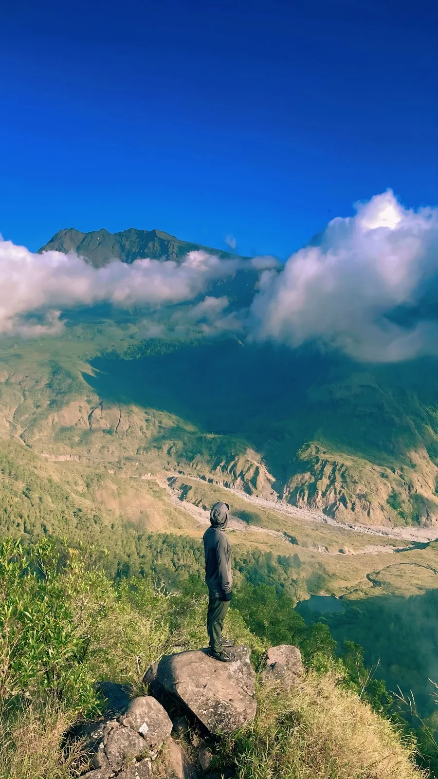
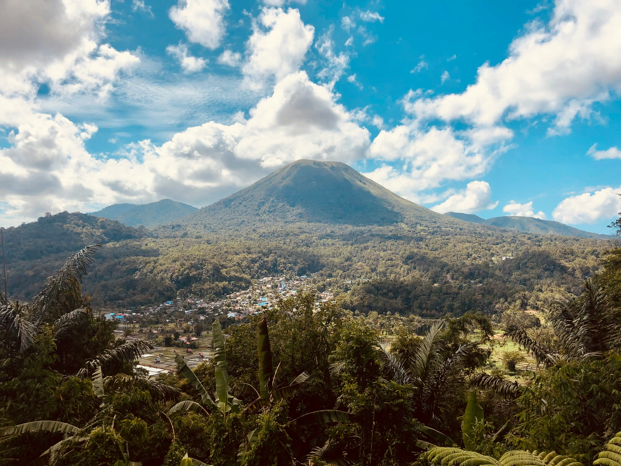
The northern arm of Sulawesi sits on the actively subducting edge of the Sangihe arc, producing the chain of volcanoes from Mount Klabat through Mount Lokon to Mount Soputan. This volcanic activity:
- Created the soil that makes the northern coffee and agriculture productive.
- Produces the hot springs that visitors encounter at Tomohon.
- Generates ongoing earthquake risk — Palu being the most prominent recent example.
The southern arm (around Makassar) sits on older, less actively volcanic substrate. The contrast in geology between north and south is one reason the cultures and food traditions of the two halves of the island differ so distinctly.
The Banda Arc
To the east of Sulawesi, the Banda Arc — the curved chain of islands running through Maluku — represents a different geological story: oceanic crust subducting under continental crust to produce the volcanic arc. The Banda Arc and Sulawesi together form one of the more tectonically complex regions in the world.
What this means for travellers
A few practical implications:
Earthquake risk. Sulawesi is in an active seismic zone. The 2018 Palu earthquake reminded everyone of this. Standard advice applies: know the location of high ground (for tsunami risk) and earthquake-safe areas in any building you're in.
Volcanic risk. Lokon and Soputan are active. Climbing requires checking the PVMBG bulletin. Eruptions are rare but not unheard of.
Biogeographic interest. For naturalist visitors, the Wallace Line story is one of the more rewarding intellectual frameworks for understanding what you're seeing. The Anoa, Babirusa, and endemic birds aren't just rare animals — they're expressions of millions of years of geological assembly.
A reading recommendation
For travellers serious about understanding Wallace's framework, Alfred Russel Wallace's The Malay Archipelago (1869) is the foundational text, freely available online. The Sulawesi sections describe locations many travellers can still visit today, sometimes with relatively little change. For more recent scholarship, The Ecology of Wallacea (Whitten et al.) is the standard academic reference.
A note on the orchid metaphor
Sulawesi is frequently described as "orchid-shaped" in promotional materials. The metaphor is overused and arguably wrong — orchids don't really look like Sulawesi — but it has stuck. A better description is "the result of four small landmasses colliding over 30 million years, with subduction zones still grinding under the edges and volcanoes still active in the north." That doesn't fit on a brochure.
The shape is the geology. Understanding the geology is the unlock for understanding everything else about the island.
Why does Sulawesi have its unusual shape? Sulawesi formed from at least four originally separate landmasses that collided sequentially over 30 million years through plate tectonic movement at the junction of three major plates. The four peninsulas of the modern island roughly correspond to those original landmasses. Sulawesi sits east of the Wallace Line — the famous biogeographic boundary identified by Alfred Russel Wallace — giving the island Australasian-affinity fauna (Anoa, Babirusa, endemic birds) despite its proximity to Asian Borneo.