A guide to climbing southern Sulawesi's highest mountain — Lompobattang (2,876m), the two-day Lembanna route, summit at dawn, and how to combine with a Makassar-Toraja trip.
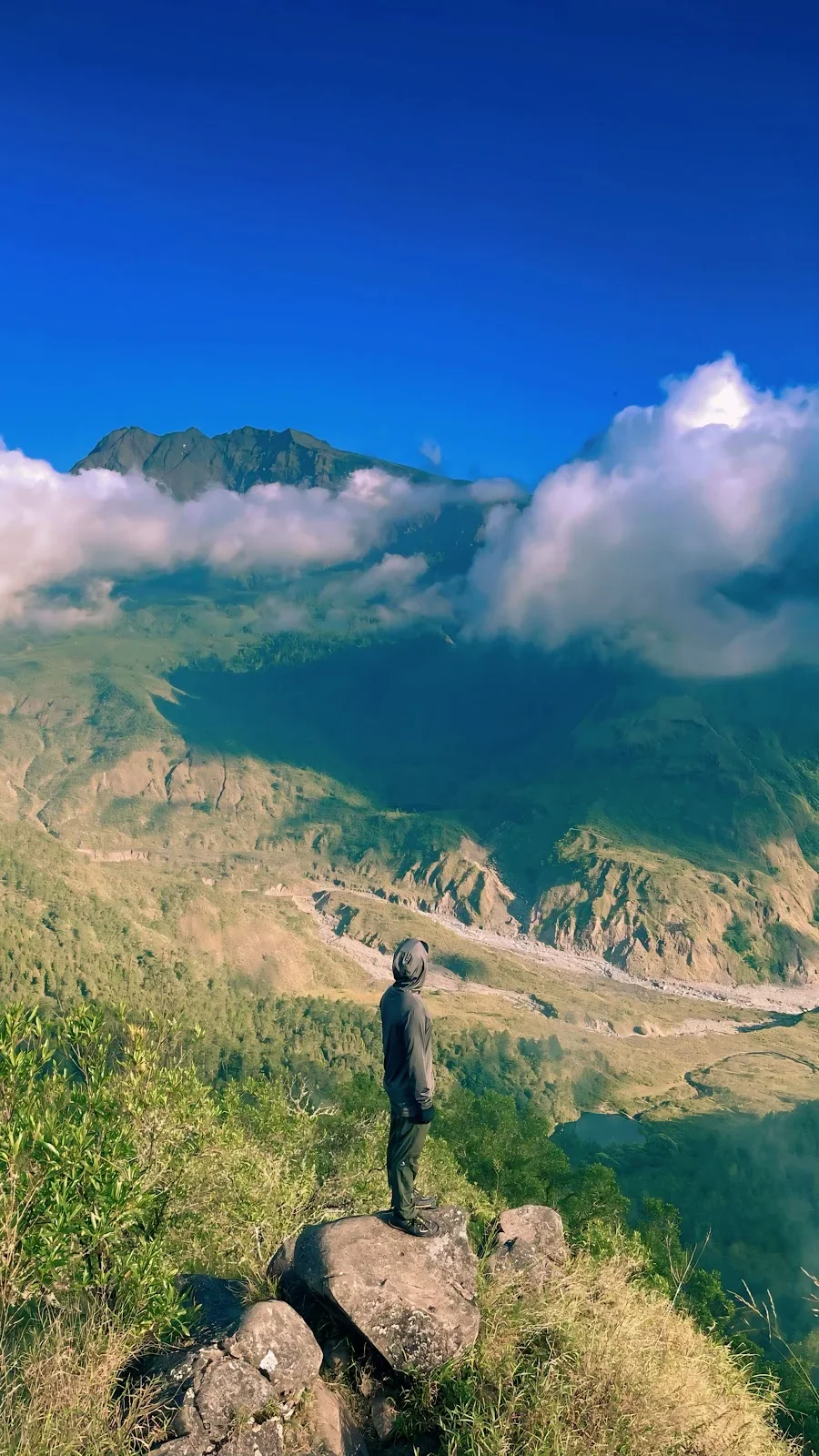
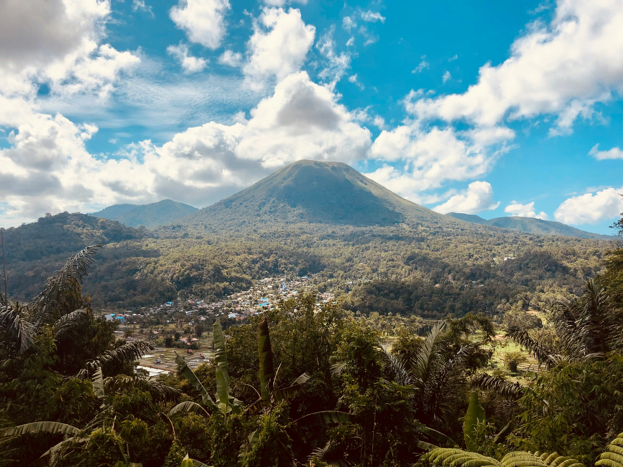
Mount Lompobattang is the highest mountain in the southern third of Sulawesi — 2,876 metres above sea level, an extinct volcanic cone rising out of the cool highland country southeast of Makassar. It is climbed by a small but committed local hiking community and almost no international visitors. The standard climb is a two-day, one-night trek from the village of Lembanna in Gowa regency, through cloud forest, edelweiss meadows, and a final granite-and-grass summit ridge that on a clear morning shows the Makassar Strait to the west and the Bone Bay to the east.
This is a short guide for travellers who want to add a mountain to their South Sulawesi trip — what the route involves, what to bring, and how to organise a guided ascent.
What's there
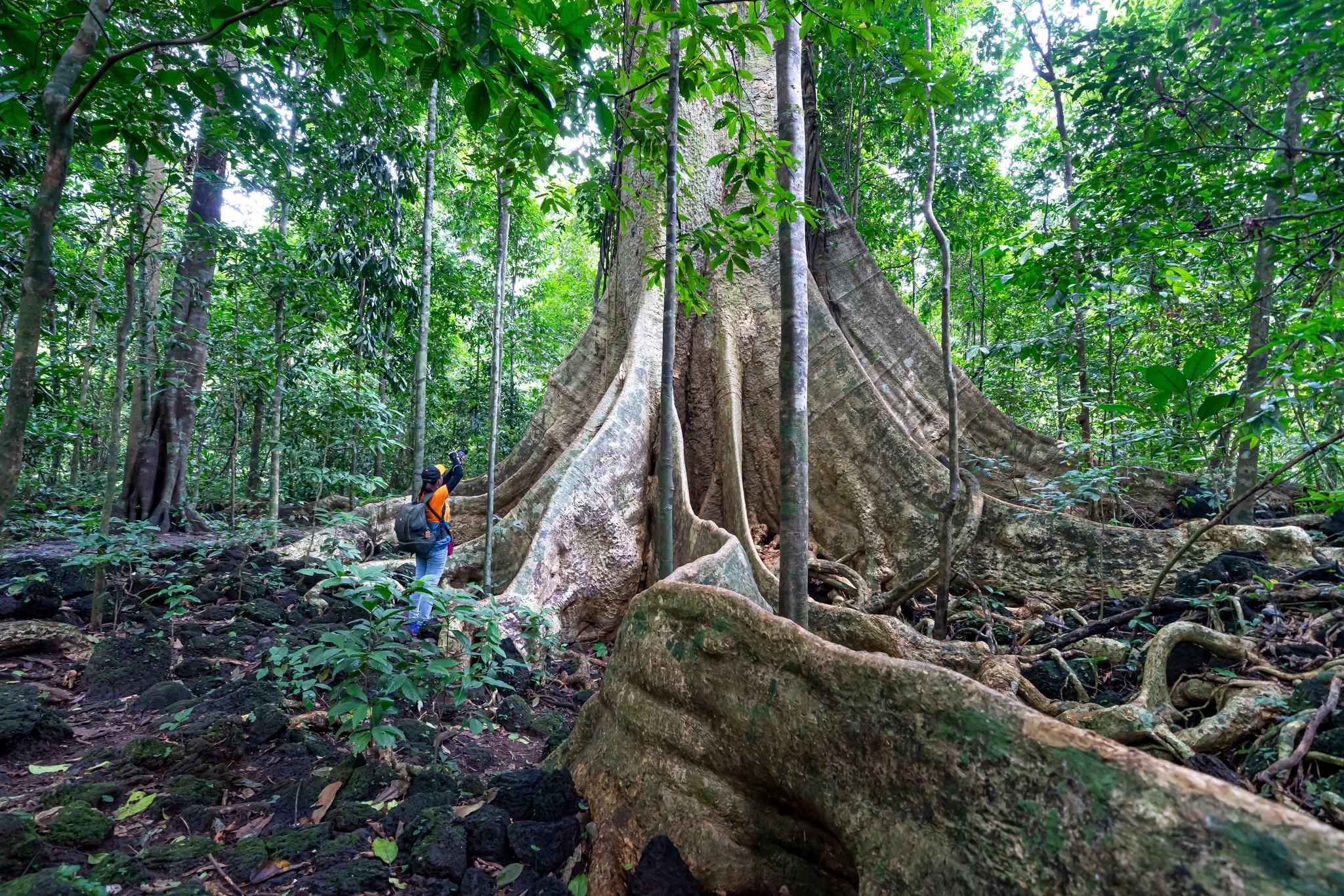
Lompobattang sits at the centre of a small upland massif in the highlands south of Makassar, with several smaller peaks adjacent (Bawakaraeng, the second-highest at 2,830m, is climbed from the same area). The mountain is heavily forested below 1,800 metres, transitioning to montane scrub above 2,000m and edelweiss-and-grass meadow near the summit.
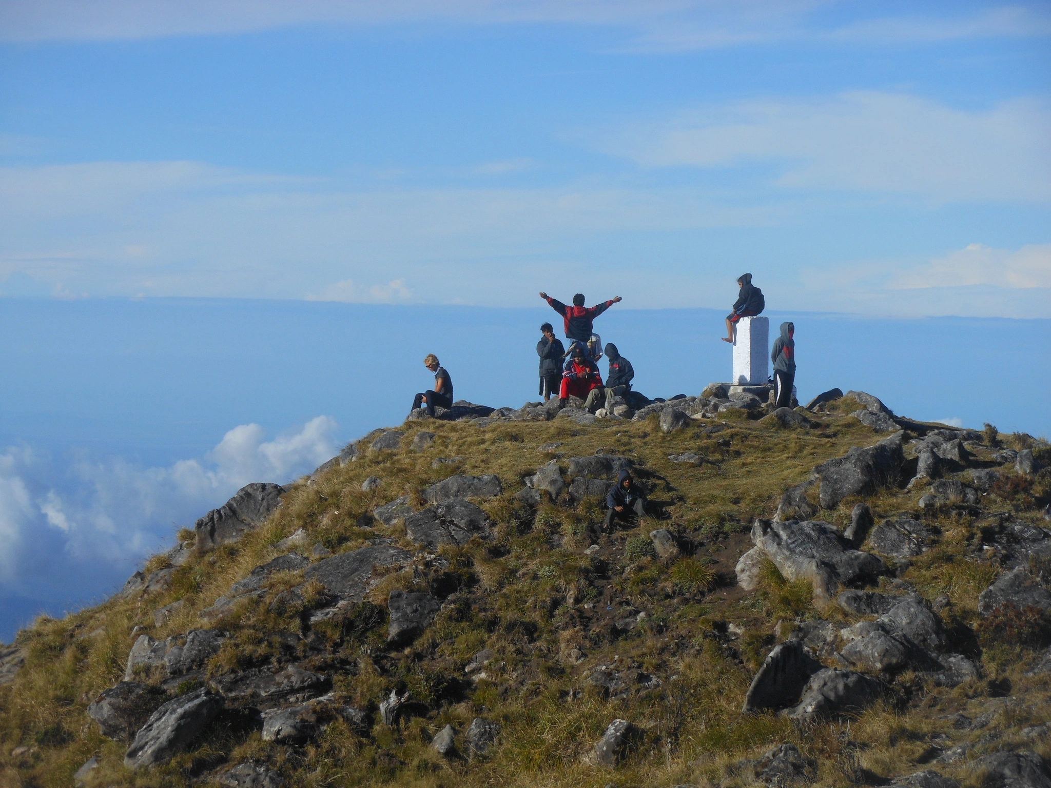
The summit caldera is small — Lompobattang is a long-extinct cone, with the volcanic activity over geological time scales — and the summit itself is a series of grass-and-rock outcrops with a tall radio mast that serves as the navigational landmark.
Getting to the trailhead
The trailhead village is Lembanna, in Tinggimoncong sub-district, Gowa regency. About 80 km from Makassar by road; 2.5 hours by private car (€33) or 3.5 hours by public transport (mikrolet to Malino, then ojek to Lembanna).
Malino is the nearest town with services — guesthouses, restaurants, a small market. Most hikers spend the night before the climb in Malino (€12–€19 for a small guesthouse) and transfer to Lembanna in the morning.
The route
Two standard routes:
Lembanna route (standard, two days, one night). Trailhead at Lembanna at about 1,500m. Climb through forest to Pos 4 (a small clearing at 2,200m) on day one, around 5–6 hours. Camp overnight at Pos 4. Pre-dawn start on day two to reach the summit by sunrise; descend the same route back to Lembanna by mid-afternoon.
Pa'pandangan route (longer, harder, less used). Trailhead at Pa'pandangan village. Two-day, one-night climb but with longer summit-day distance and a more demanding gradient.
Most climbers do the Lembanna route.
What it's like
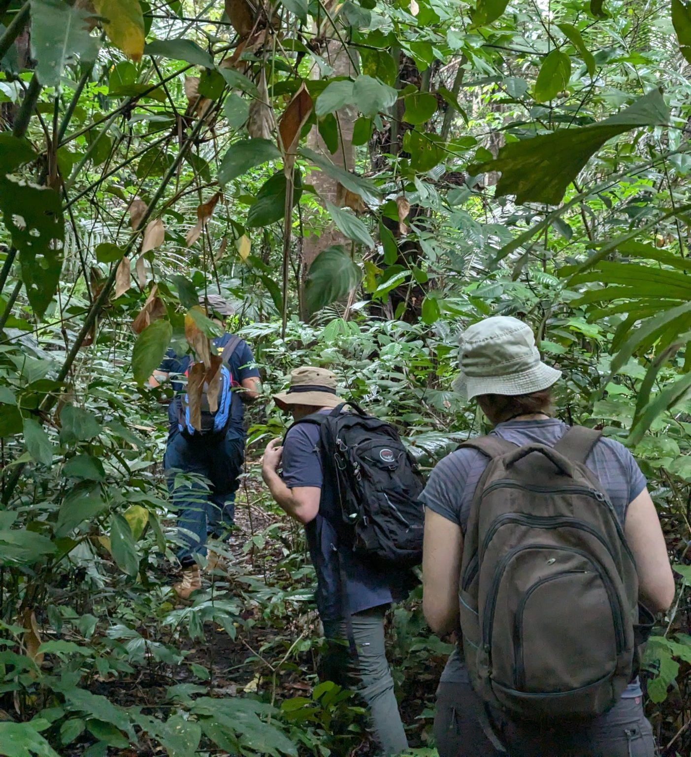
The first day is forest hiking on a rough but maintained path. Wet conditions are common (the mountain catches the southwest monsoon), particularly in November–April. The path is well-trodden and easy to follow but slippery in places.
Pos 4 is a clearing in the dwarf forest with rough tent platforms, a water source, and a small shelter. Temperatures at 2,200m drop to 5–10°C at night; a proper sleeping bag is essential.
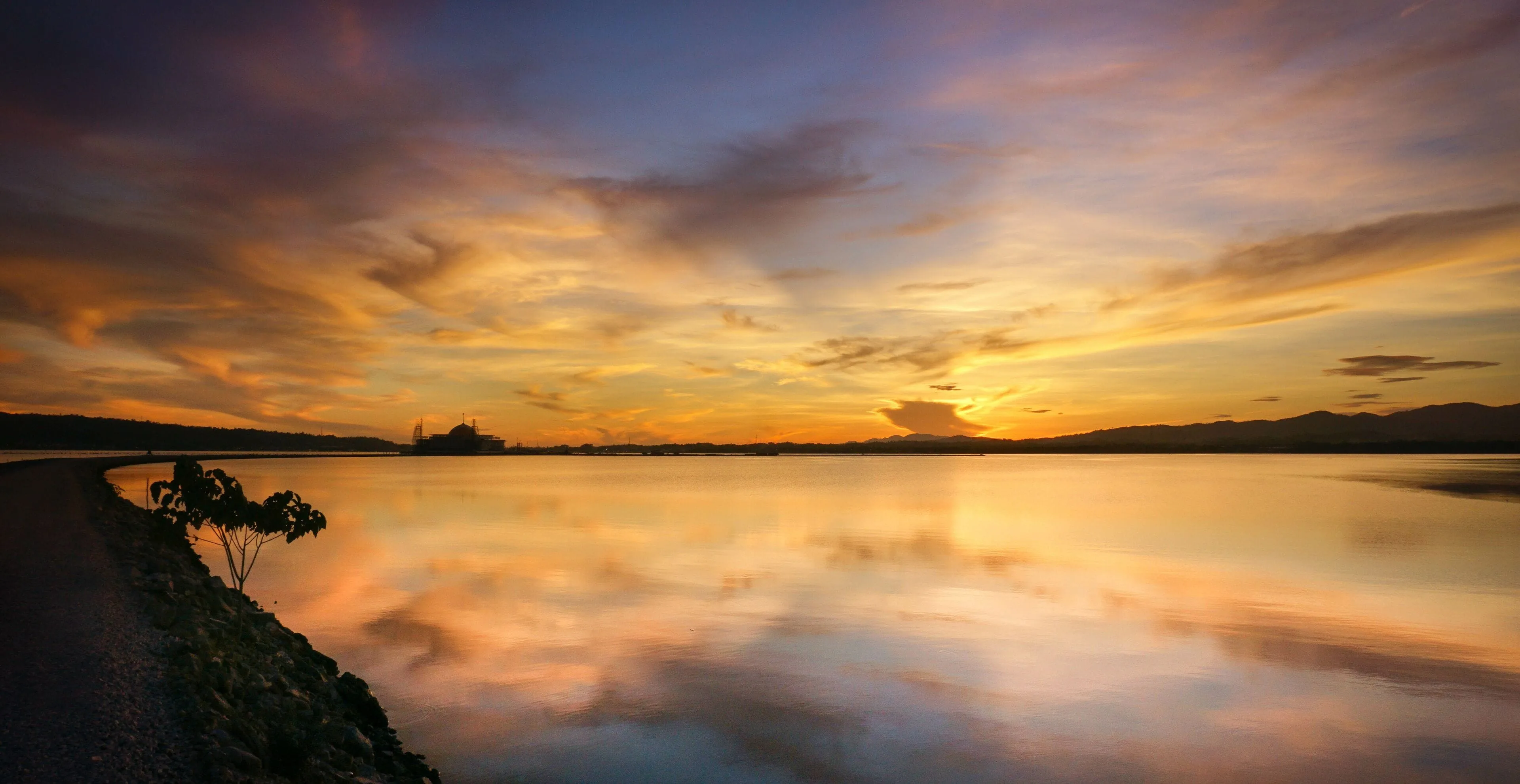
The pre-dawn summit push starts around 03:00 with headlamps. The path becomes steeper, then crosses through the edelweiss meadows at 2,500m, then traces a rocky ridge to the summit area. Sunrise on the summit ridge is the moment that justifies the climb — clear mornings show the South Sulawesi peninsula spread out below, with the Makassar Strait and Bone Bay both visible.
What to bring
Standard mountain kit:
- Hiking boots with grip (the path is wet and rough).
- Rain shell (essential year-round).
- Warm layers (a fleece or down piece for the summit night).
- Sleeping bag rated to 0°C minimum.
- Tent (or arrange with the guide).
- Headlamp with spare batteries.
- Cooking stove and food (or arrange with the guide for full board).
- 3 litres of water for the climb (water sources at Pos 4 require purification).
- Trekking poles (helpful for the descent).
Guides
Lompobattang is not technically demanding but should not be climbed without a guide. The local guide network operates from Lembanna village; a guide costs €17–€24 per day plus tip. Full-board organisation (guide, porter, food, tent) runs €57–€86 for the two-day climb.
Contact through Pondok Kayu or Bawakaraeng Adventure in Malino for organised trips; bookings can be arranged 2–3 days ahead in dry season.
When to climb
May–September is the dry season window. The mountain can be climbed year-round but November–April brings serious rainfall, slippery trails, and reduced summit visibility.
The peak climbing seasons are Indonesian school holidays (June–July) and Eid week (variable). Outside these periods, the summit may be solitary.
How long to plan
Total trip from Makassar: three days. Day one drive to Malino, overnight; day two climb to Pos 4; day three summit and return to Malino (or Makassar).
Allow a buffer day if your wider trip permits — the descent on day three is hard on the knees and arriving back at Makassar tired is not the right setup for an onward flight.
Lompobattang vs Bawakaraeng
The adjacent peak Bawakaraeng (2,830m) is a slightly easier climb and is more commonly attempted by South Sulawesi hikers. For travellers with one mountain to climb in the area:
- Bawakaraeng is easier, shorter, with a more established hiker scene.
- Lompobattang is harder, longer, with a more remote summit experience.
For a first mountain in the area, Bawakaraeng is the safer choice. For a more committed climb, Lompobattang.
Combining with a wider trip
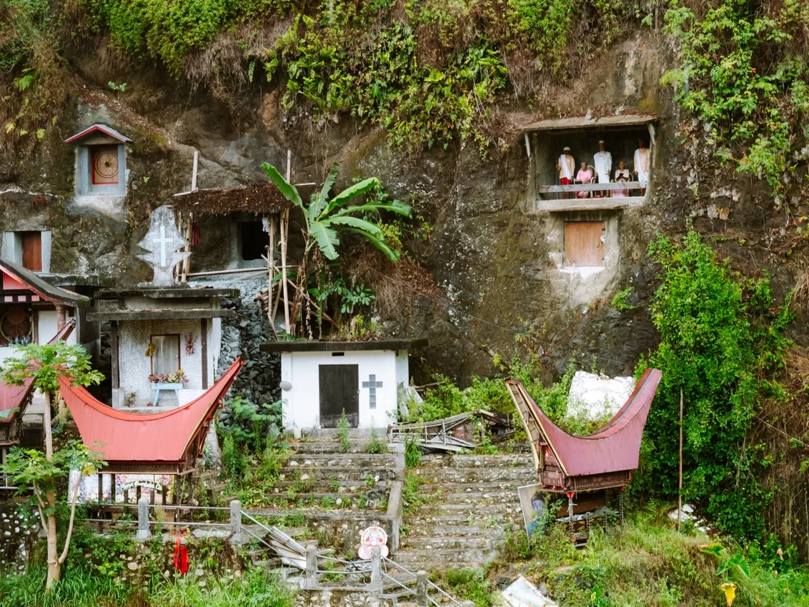
A Lompobattang climb pairs with a Makassar-South Sulawesi trip naturally. After the climb, continue to Toraja, Bira, or Selayar — all reachable by road from the Makassar area.
For travellers whose South Sulawesi trip is focused on culture and beaches, Lompobattang is a deliberate addition that requires three to four extra days. For travellers interested in Indonesian mountain hiking, it is one of the better southern peaks and worth the time.
How do you climb Mount Lompobattang? Mount Lompobattang (2,876m, the highest mountain in southern Sulawesi) is climbed on a two-day, one-night route from Lembanna village in Gowa regency, 2.5 hours by road from Makassar. The standard climb camps at Pos 4 (2,200m) and summits at dawn on day two. A local guide is essential (€17–€24 per day); the climbing season is May to September.