At 2,876 m, Mount Lompobattang is the highest point in the southern third of Sulawesi. Most hikers climb it in two days and one night from Lembanna village in Gowa regency, about 2.5 hours by road from Makassar. You camp at Pos 4 (2,200 m) and reach the summit at dawn on the second day. You need a local guide. The best season is May to September.
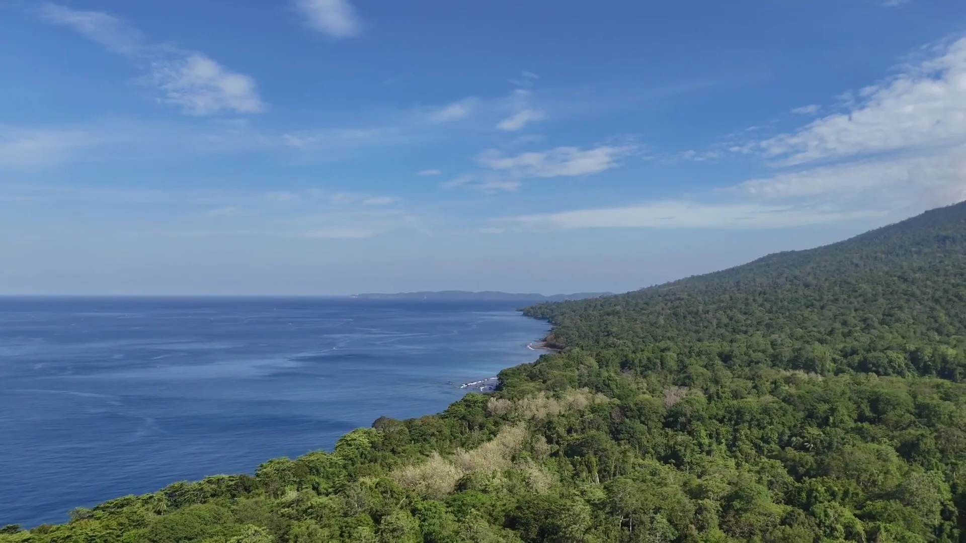
Lompobattang is an extinct volcano in the cool hills southeast of Makassar. A small, keen group of local hikers climbs it. International visitors are rare. On a clear morning, you see Bone Bay to the east and the Makassar Strait to the west from the summit.
The mountain
Lompobattang stands at the centre of a small group of peaks in the highlands south of Makassar. Its neighbour Bawakaraeng (2,830 m) is the second highest, and hikers climb it from the same area.
The slopes change with height:
| Altitude | Landscape |
|---|---|
| Below 1,800 m | Thick forest |
| Above 2,000 m | Mountain scrub and dwarf forest |
| Near the summit | Meadows of grass and edelweiss |
The volcano has been quiet for a very long time, and its crater is small. The top is a set of grassy, rocky outcrops. A tall radio mast stands there, and hikers use it as a landmark.
Getting to Lembanna
Lembanna lies about 80 km from Makassar. It belongs to Tinggimoncong sub-district in Gowa regency.
- By private car: about 2.5 hours.
- By public transport: about 3.5 hours. Take a mikrolet (minibus) to Malino, then an ojek (motorbike taxi) to Lembanna.
Malino is the closest town with guesthouses, restaurants and a small market. Most hikers sleep in a small guesthouse in Malino the night before, then go to Lembanna in the morning.
Two routes to the top
Lembanna: the usual route
- Day 1. Start at Lembanna, at about 1,500 m. Hike up through the forest for about 5 to 6 hours. Pos 4, your camp, is a small clearing at 2,200 m. Camp there.
- Day 2. Leave before dawn to reach the summit for sunrise. Walk down the same path and reach Lembanna by mid-afternoon.
Pa'pandangan: longer and steeper
This route starts at Pa'pandangan village. It also takes two days and one night. The summit day is longer, though, and the slope is harder. Few people use it.
Most hikers choose Lembanna.
On the trail
Day 1: forest
The path through the forest is rough but looked after. Many people use it, so it is easy to follow. It is often wet, because the mountain catches the monsoon rain, most of all from November to April. Some sections are slippery.
The camp at Pos 4
Pos 4 is a clearing in dwarf forest. It has rough flat spots for tents, a water source and a small shelter. At 2,200 m, the night temperature falls to 5 to 10°C. You need a good sleeping bag.
Day 2: the summit
Leave camp at about 03:00 with a headlamp. The path gets steeper. At about 2,500 m it crosses the edelweiss meadows, then follows a rocky ridge to the summit. Sunrise on the ridge is the reward for the effort. On a clear day you see the whole South Sulawesi peninsula below you, with both the Makassar Strait and Bone Bay.
Packing list
- Hiking boots with good grip. The trail is wet and rough.
- A rain jacket, in every season.
- Warm layers, such as fleece or down, for the night at camp and the summit.
- A sleeping bag rated to at least 0°C.
- A tent, or ask your guide to bring one.
- A headlamp and spare batteries.
- A stove and food, or ask your guide for full board.
- Water: carry 3 litres for the ascent. Treat any water from Pos 4 before you drink it.
- Trekking poles. They help on the way down.
Guides and booking
The climb needs no technical skill. Still, do not go without a guide. Local guides work from Lembanna village. You can hire a guide alone, or book a full package with a guide, a porter, food and a tent for the two days. Tip your guide.
To book an organised trip, contact Pondok Kayu or Bawakaraeng Adventure in Malino. In the dry season, two or three days' notice is usually enough.
Best time to climb
The dry season runs from May to September. You can climb at any time of year, but from November to April heavy rain makes the trail slippery and clouds often hide the view.
The mountain is busiest during Indonesian school holidays in June and July, and in the week of Eid, whose date changes each year. At other times you may have the summit to yourself.
How many days to allow
Plan three days from Makassar:
- Drive to Malino and sleep there.
- Climb to Pos 4 and camp.
- Reach the summit, descend, and return to Malino or Makassar.
Add a spare day if you can. The descent is hard on the knees. It is not a good idea to arrive in Makassar exhausted and then catch a flight.
Lompobattang or Bawakaraeng?
Bawakaraeng (2,830 m) is the neighbour peak. It is a little easier, and more local hikers climb it.
| Bawakaraeng | Lompobattang | |
|---|---|---|
| Difficulty | Easier | Harder |
| Length | Shorter | Longer |
| Hiker scene | Busier, more established | Quieter, more remote at the top |
For your first mountain in the area, choose Bawakaraeng. For a bigger challenge, choose Lompobattang.
Adding it to a South Sulawesi trip
The climb fits well into a trip that starts in Makassar. Afterwards, go on by road to Toraja, Bira or Selayar.
If your trip is mostly culture and beaches, Lompobattang adds three or four days, so plan for it on purpose. If you enjoy hiking in Indonesia, it is one of the best peaks in the south and well worth the time.